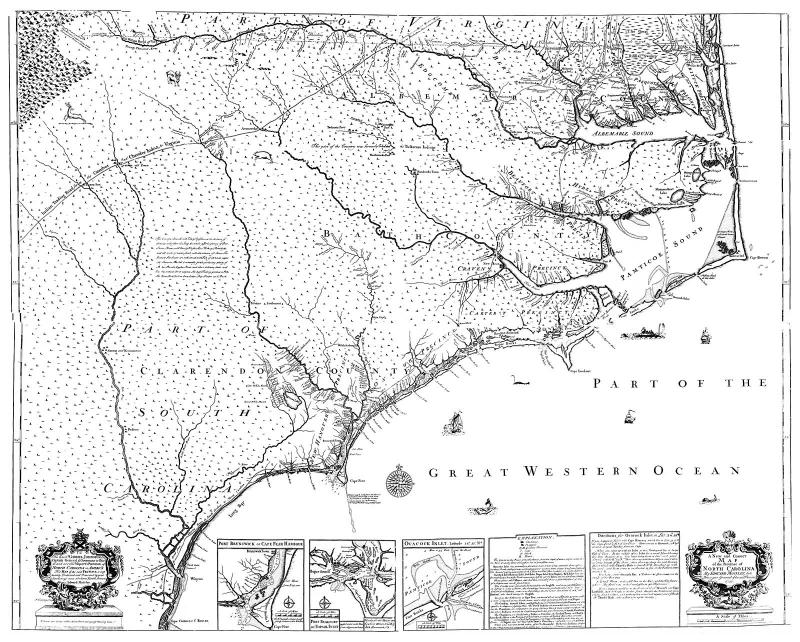
New and correct map of the Province of North Carolina
Edward Mosley drew this map of the Province of North Carolina in 1733. It shows settlements, inhabitants, soil conditions, rivers, and principal products, with insets showing Port Brunswick or Cape Fear Harbour, Port Beaufort or Topsail Inlet, Ocacock (Ocracoke) Inlet, and the explanation, and directions for Ocacock (Ocracoke) Inlet.

Usage Statement:
LEARN copyright
This item was created by the LEARN NC project at the UNC-School of Education. It may be used in ways consistent with non-profit educational fair use under U.S. copyright law.